Quick Facts About the North Santiam River
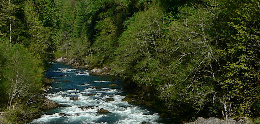
The waters of the North Santiam begin their journey on the snowy slopes of Mount Jefferson. Nearly ninety miles later they join the South Santiam. Along its journey the river flows past forest and farm, field and city. Its flow is interrupted by high wall dams and and diverted for irrigation, municipal use and even into Mill Creek for aesthetic purposes.
- The river drains a land area of about 766 square miles.
- And flows into the Willamette River just south of the city of Salem.
- The North Santiam serves as the boundary between Linn and Marion counties.
The upper reaches of the river mostly are surrounded by steep forestlands where clearcutting and forest fires have affected many hundreds of acres in past decades. The lower North Santiam River flows through flat to gently rolling agricultural areas. Typically, the lowlands around the river are formed of sediment deposited by the river over the centuries.
WATER USE
The water flowing in the North Santiam is an important resource for many users and purposes. For example, the river is impounded by Detroit Dam to form Detroit Lake. Together with the High Cliff Dam Detroit Dam provides flood control, power generation, and recreation.
According to the Oregon water Resource Department water is taken out of the river for industrial, irrigation and municipal use:
- more than 1000 water claims for crop irrigation including the Upper and Lower Bennett Dams and the water diversion canals near the city of Stayton
- water source for 170,000 City of Salem customers
- municipal water for the City of Albany
- 18 additional community and other public water systems
LAND USE
Most of the land in the watershed, nearly 75 percent, is owned by the public. These lands mostly lie in the upper reaches of the basin and are managed by different state and federal agencies, including
- Willamette National Forest, managed by the USDA Forest Service,
- Bureau of Land Management lands, and
- High Cliff and Detroit dams which are managed by the Army Corps of Engineers.
- Santiam State Forest is managed by the Oregon Department of Forestry.
- Several smaller parks and recreation areas are managed by the Oregon Parks and Recreation Department and the counties.
The private lands in the watershed are used for timber production, agriculture, recreation, rural residential and urban areas.

