Maps of the Watershed

What is a Watershed?

A watershed, or also know as a basin, is an area of land that channels rainfall and snowmelt into creeks, streams and rivers which eventually lead to large rivers that outflow to bays, and the ocean.

The Willamette River Basin, as seen below, is the largest watershed in the state of Oregon and covers more than 11,500 square miles. The Willamette River is formed by the confluence of the Middle and Coast Forks that originate in the mountains south and southeast of Eugene. The river flows almost 200 miles to the Columbia River in North Portland and drains more than 7 million acres of land.

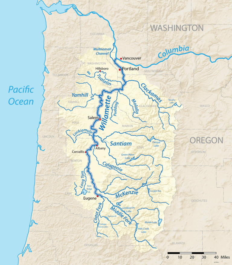
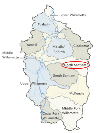
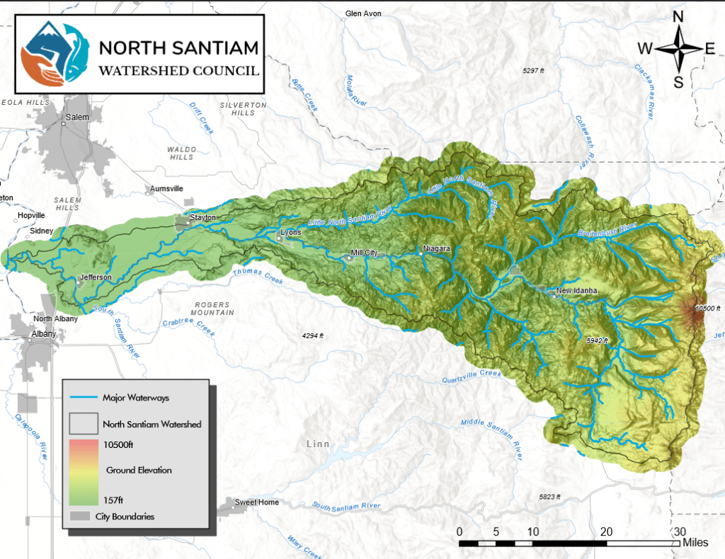
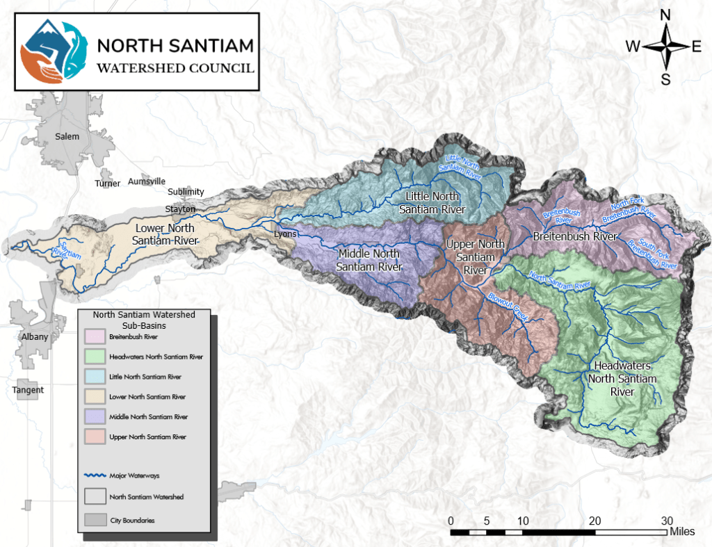
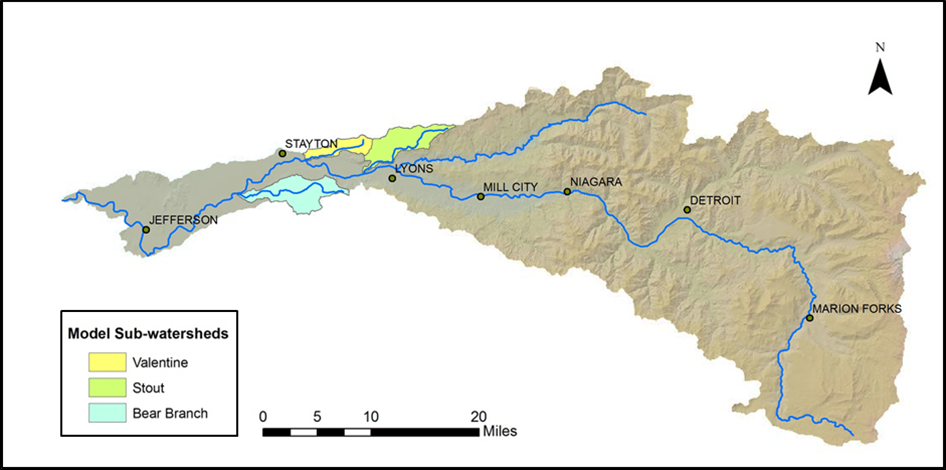
The Willamette River Basin is composed of smaller subbasins, or subwatersheds, of which the North Santiam River Watershed is found. This watershed spans across both Marion County, and Linn County.

Watersheds of the Willamette River Basin

The North Santiam River is a 92-mile tributary of the Santiam River. It drains roughly 766 square miles from the Cascade Mountains which are located to the east of the Willamette Valley, and east of Salem. The rivers headwaters start near the western flanks near Three Fingered Jack and Mt Jefferson, and flows through Marion Forks, to Detroit Reservoir. Through Detroit Dam, and Big Cliff dam it continues to merge with smaller tributaries such as the Little North Fork of the Santiam until it meanders towards the valley bottom to meet the Willamette River.


The North Santiam Watershed can further be divided into subwatersheds, which each have their own unique characteristics that help identify our strategies for restoration.

The North Santiam, with focus on the Lower North Santiam subwatershed, has three model watersheds: Valentine Creek, Stout Creek and Bear Branch Creek. These focused-watersheds are the areas of the Councils legacy goal of restoration and ecological monitoring through the Model Watershed Program, which is to move forward a vision of clean healthy waters with ecological flows, native species recovery and diverse floodplain connectivity and healthy riparian forests. Click here to learn more about the Model Watershed Program.