Author: NSWC

Departmant of Fish and Wildlife Commission Discuss Governor’s Proposal to Restrict Gillnetting

Oregon’s Fish and Wildlife Commission will discuss Governor John Kitzhaber’s new proposal to limit Columbia River gill netters on August 14th at 2 p.m.  No public comments will be taken, but ODFW has a live audio stream so you can listen over the Web.


North Santiam Watershed Council

ODFW Fish Migration Report July 25, 2012

  Based on video monitoring at Bennett dam near Stayton, approximately 3,000 summer steelhead and 3,000 spring chinook have moved into the North Santiam River system. Spring chinook hatchery brood collection has started at Upper Bennett dam and will continue through the end of July. Many fish including all summer steelhead, are being passed above…
Read more

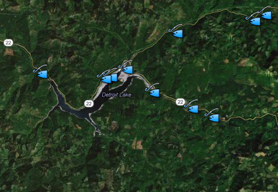
Find out where hatchery trout are released in the North Santiam Watershed

The Oregon Department of Fish and Wildlife stocks hatchery reared trout at many locations in the North Santiam Canyon. Click on any of the fish icons shown on the following map to learn a little more about the locations that receive hatchery trout. View ODFW trout stocking sites in a larger map

Let Sleeping Logs Lie

Let Sleeping Logs Lie

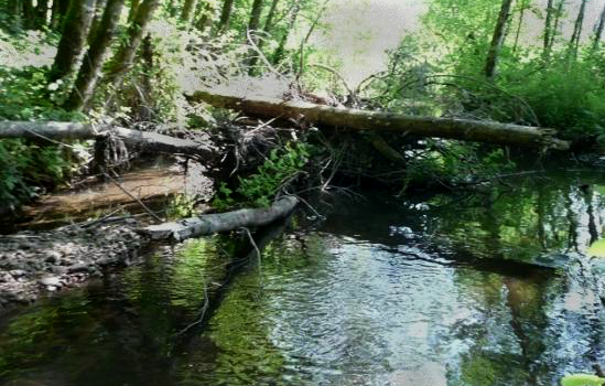
In the past, we thought it was a good idea to clean up the log jams that “choked up” steam channels.  As a matter of fact, Oregon used to have employees whose primary role was dynamiting log jams in rivers.  Today, things have changed.  We now understand that pulling logs and other wood out of…
Read more

Noxious Weeds are Obnoxious

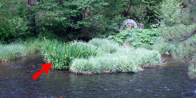
Anyone who owns or manages land in the north Santiam Watershed already knows how totally obnoxious some plants can be.  I mean, they just don’t get it, do they?  You keep pulling, or digging or spraying and like a bad penny they just keep turning up.  Sometimes it seems almost hopeless. Noxious weeds are obnoxious,…
Read more

Grants of up to $10,000 Available for Habitat Restoration Projects

Whether you’re a local landowner or part of a citizens’ group, the North Santiam Watershed Council can act on your behalf and work with the Oregon Watershed Enhancement Board (OWEB) to get funding and support for your on-the-ground habitat restoration project.  How much support?  Well, if your conservation project is to protect, restore or improve…
Read more

North Santiam River at Niagara

Quick Facts About the North Santiam River

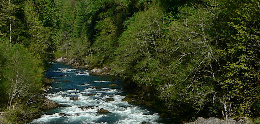
The waters of the North Santiam begin their journey on the snowy slopes of Mount Jefferson. Nearly ninety miles later they join the South Santiam. Along its journey the river flows past forest and farm, field and city. Its flow is interrupted by high wall dams and and diverted for irrigation, municipal use and even…
Read more

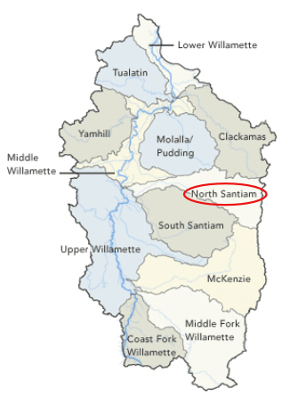
Watersheds of the Willamette River Basin

What is a watershed?

When we talk about a watershed on these pages, we’re referring to the land area drained by a river or stream. So a “watershed” can be the huge land area drained by the Columbia River or the area drained by the Willamette River.  A watershed can be the 766 square miles drained by the North…
Read more

Regional Landowner Recruitment Services, Request for Qualifications

The North Santiam Watershed Council, in partnership with South Santiam and Calapooia Watershed Councils, is soliciting qualifications for a Regional Landowner Recruitment Services Contract.  The purpose of the Regional Landowner Recruitment Services Contract is to implement the strategic goals and objectives of the Watershed Councils and Meyer Memorial Trust’s (MMT) Willamette Model Watershed Program in…
Read more

ODFW Fish Migration Report for June 28, 2012

River flows rates are excellent right now, currently around 2,500 cfs at Mehama on the North Fork. Large numbers of fish are moving into the North Santiam River. The number of summer steelhead passing above Willamette Falls on the Willamette stood at 19,132, on June 19. Based on video monitoring at Bennett dam near Stayton,…
Read more

Valentine Creek Habitat Restoration Project

Restoration and conservation efforts along the Valentine Creek tributary to the North Santiam River are part of a larger regional initiative to improve watershed health. Valentine Creek Fast Facts Area: 21.8 square miles Stream Miles: 5.3 miles Elevation (ft): 479-2562 Land Use: Forested- 36.8%, Agriculture- 18.3%, Urban- 4.3%, Rural/Non-Forest- 32.2% Fish Habitat Type & Stream Miles Chinook- 1.9…
Read more

Bear Branch Habitat Restoration Project

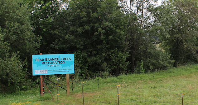
Restoration and conservation efforts along the Bear Branch tributary to the North Santiam River are part of a larger regional initiative to improve watershed health. Watershed Quick Facts 1. How large is the area of land that drains into Bear Branch Creek? 13 square miles 2. How long is Bear Branch Creek? 10 miles 3.…
Read more